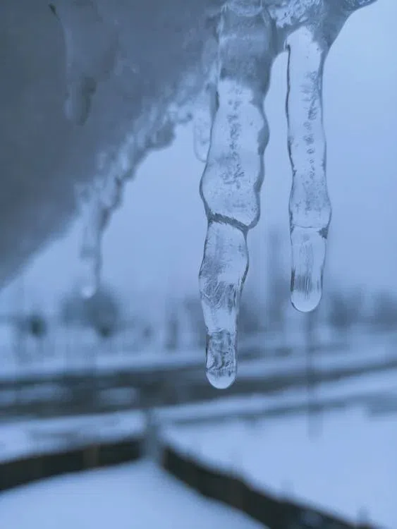
Ontario is facing one of its coldest stretches of winter in years as a massive blast of arctic air spreads across the province, bringing dangerous wind chills and an increased risk of frostbite.
Environment Canada says a stretched polar vortex is behind the deep freeze, allowing frigid air normally trapped over the Arctic to spill south into Canada and the United States.
Large portions of Ontario and Quebec, along with Saskatchewan and Manitoba, are currently under cold warnings as daytime highs struggle to climb and overnight lows plunge well below seasonal averages.
Meteorologists says the extreme cold is expected to persist through the weekend, with wind chills making it feel close to overnight lows even during the day.
While temperatures may ease slightly by Monday, forecasters warn conditions will remain colder than normal through the end of the month.
The cold snap could also be accompanied by heavy snow, as a major winter storm system tracking across the United States is expected to push into parts of southern Ontario by Sunday.
Forecasters say the combination of bitter cold and snowfall could make travel hazardous and increase the risk of power disruptions.
Across the border, U.S. officials are warning the same arctic system could produce severe ice and snow from Texas to New England, with potential impacts comparable to hurricane-level damage in some regions.
For Norfolk County, there is a risk for frost bite tonight and tomorrow due to the cold temperatures with snow in the forecast for Sunday.