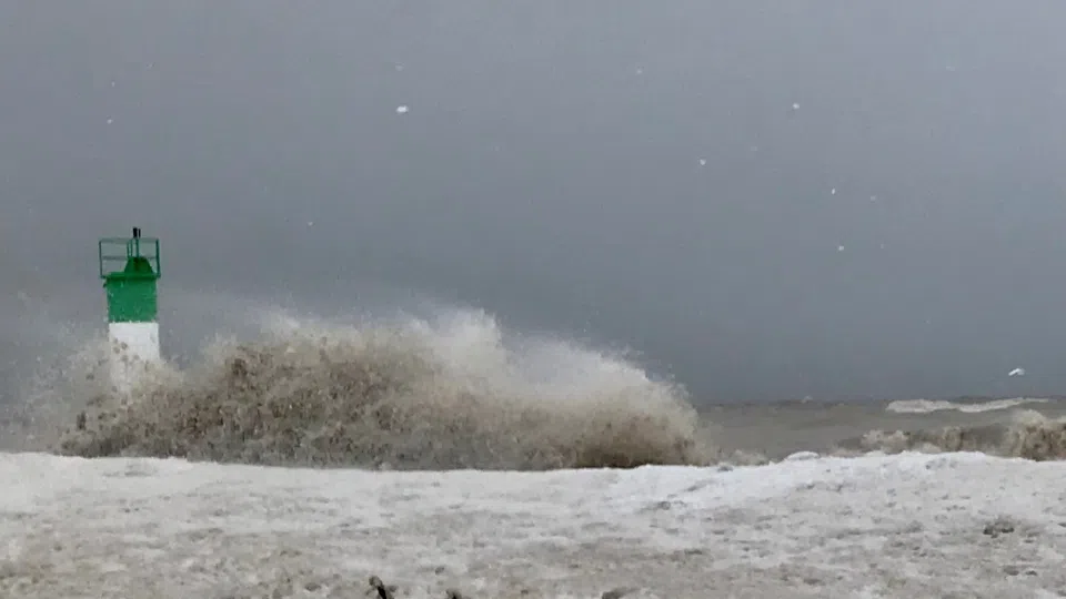
Strong winds and high waves on Lake Erie
Environment Canada has issued a Snow Squall Watch alongside a Wind Warning for the region, warning of dangerous travel conditions and potential power disruptions.
Snow squalls are expected to develop late Monday morning or early afternoon, bringing near-zero visibility, rapidly accumulating snowfall, and blowing snow. Total snowfall amounts of 10 to 20 centimetres are possible, with an initial intense squall capable of producing up to 5 cm in a short period. The sudden drop in temperatures may also lead to icy road conditions.
Behind the cold front, northwesterly wind gusts of 70 to 90 km/h are expected, producing whiteout conditions in open areas and increasing the risk of power outages and property damage.
At the same time, strong southwesterly winds of 90 to 110 km/h are forecast earlier in the day, shifting direction as the cold front moves through. Loose objects may be displaced, and damage to fences, roofs, and trees is possible.
Motorists are urged to reconsider travel plans, as conditions may deteriorate rapidly. Road closures are possible, and emergency officials advise staying indoors when conditions worsen.