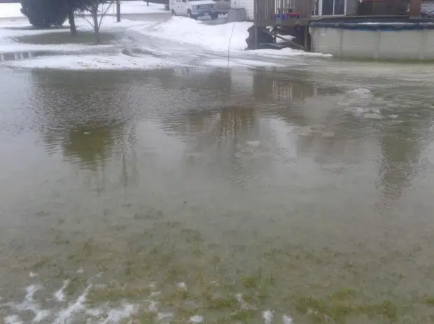
Photos of flooding issues in the area were included in the council agenda.
Residents across Norfolk County and Haldimand County are being urged to exercise caution near shorelines and waterways as conservation authorities issue water safety statements in response to a significant weather system moving through the region.
Yesterday, we reported about Grand River Conservation Authority issuing a Watershed Conditions Statement for water safety as warmer weather and rain move through the region.
Now, the Long Point Region Conservation Authority (LPRCA) has issued a Shoreline Conditions Statement – Water Safety for the entire Lake Erie shoreline within its jurisdiction, including the Municipality of Bayham, Norfolk County, and western Haldimand County.
The statement comes as strong west winds are forecast to impact Lake Erie over the next 24 hours.
According to LPRCA, sustained winds of up to 60 km/h, with gusts reaching 70 km/h, are expected to begin overnight and continue into Friday evening.
These conditions may lead to elevated water levels along the shoreline due to storm surge and significant wave action.
Western Haldimand County faces the greatest risk, with officials warning of possible minor shoreline flooding, wave uprush, and increased erosion.
Water levels at Port Colborne are forecast to peak at 1.98 metres (175.48 m IGLD) by mid-day Friday.
Bayham and Norfolk County are expected to see lower impacts, with Long Point water levels projected to peak at 1.17 metres (174.67 m IGLD), though hazardous wave conditions remain possible.
Residents are being urged to stay clear of areas experiencing strong wave action or elevated water levels.
Parents and caregivers are reminded to keep children and pets well away from the shoreline, and community flood coordinators are asked to closely monitor lakeshore roads for changing conditions.
LPRCA staff will continue monitoring conditions and provide updates as required.
