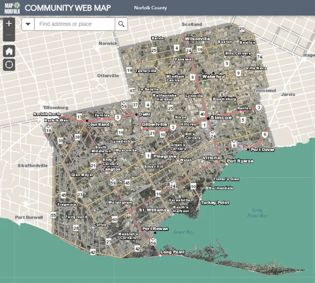
New air photography shots of Norfolk County are now available for the public to view.
SWOOP, a provincial program that helps smaller municipalities secure high-quality air photography every five years, provided the photos.
The 2020 photos are the highest quality the county has ever had, according to a press release from Norfolk.
In addition to the main web mapping application, Norfolk’s GIS team provides seven additional maps – trails, 1964 vs. 2015 photography, pending planning applications, building permits, Ride Norfolk routes, Heritage and Culture, and a Heritage Designated Properties Storymap.
Members of the public can view the mapping here: https://www.norfolkcounty.ca/visiting/norfolk-maps/.
